
CALL US
(866)223-5699
(866)223-5699

Coastal weather can change quickly. A calm morning can turn into a gusty afternoon, and a clear horizon can hide a fast-moving squall line. For ports, harbors, ferry operators, offshore crews, and marinas, those changes affect safety, schedules, and operating costs.
A regional marine forecast is an essential starting point, but it describes conditions over a broad area. What happens at one harbor entrance, berth, or marina basin can be quite different. That is why many maritime operators add their own marine weather stations to measure conditions exactly where decisions are made.
This guide explains what marine weather stations measure, how ports, ferries, offshore operators, and marinas use the data, and what to consider when choosing and installing a station in a saltwater environment.
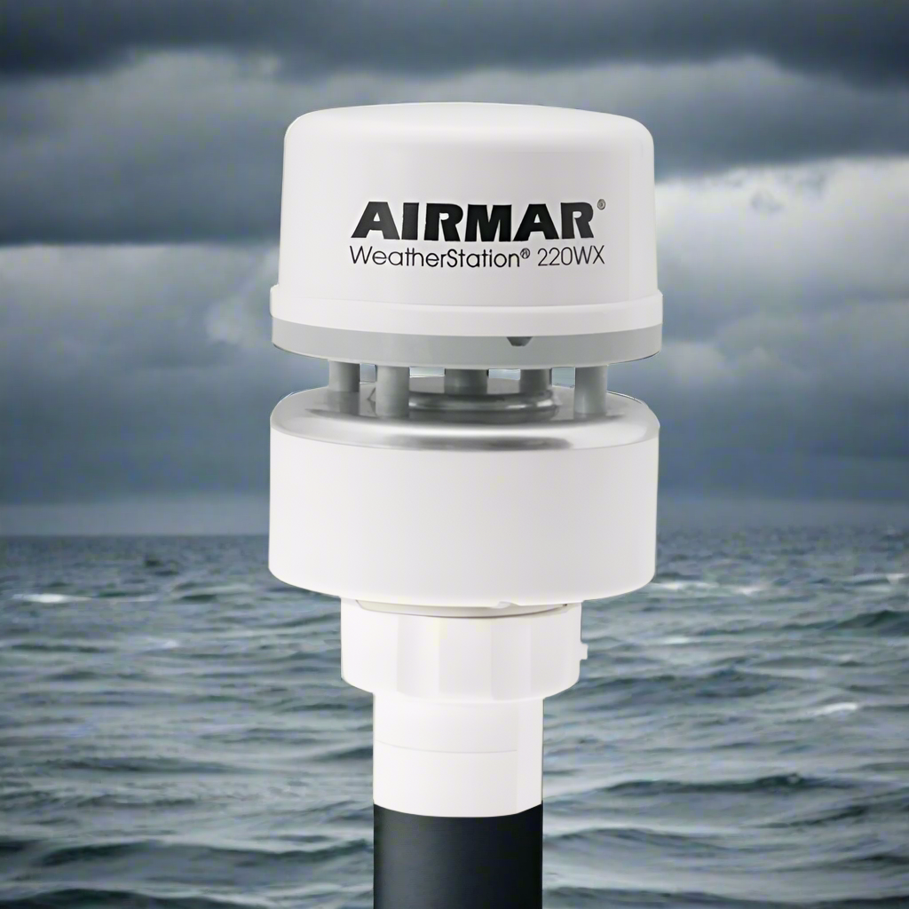
Local terrain, coastline shape, breakwaters, and large structures can change wind speed and direction over very short distances. Wind funneling through a harbor entrance may be noticeably stronger than wind in a sheltered inner basin, and a crosswind at an exposed berth can matter more to a ship handler than the regional average.
An on-site station shows what is happening now, at the location that matters. Maritime operators typically watch:
Visibility, waves, tide level, and currents are also important, but they usually require dedicated sensors beyond a standard weather station. Local readings should supplement official forecasts and warnings, not replace them.
The table below separates what a typical weather station measures from what usually comes from specialist marine equipment.
| Measurement | Typical sensor | Why it matters at the waterfront |
|---|---|---|
| Wind speed and direction | Cup anemometer and wind vane, or ultrasonic sensor | Ship maneuvering, berthing limits, small-craft safety |
| Gusts | Same wind sensor, with peak values recorded | Short, strong bursts often set the practical operating limit |
| Barometric pressure | Electronic pressure sensor or barometer | A falling trend can warn of an approaching storm |
| Air temperature and humidity | Shielded temperature/humidity sensor | Dew point calculations help indicate fog risk |
| Rainfall | Rain gauge | Storm intensity, drainage, and cargo handling |
| Visibility | Dedicated visibility sensor | Fog and heavy-rain restrictions on vessel movements |
| Waves, tide level, and currents | Wave buoy or radar, tide gauge, current meter | Under-keel clearance, bar crossings, and transfer windows |
Wind is often reported as an average over a set period, such as 10 minutes, along with the highest gust in that period. Make sure everyone reading the data knows which values they are looking at, because an average and a gust can differ significantly in squally conditions.
A station on a pier or breakwater measures true wind directly. A station on a moving boat measures apparent wind, which combines the real wind with the vessel's own motion. Vessel-mounted units such as the Airmar 200WX / 220WX use built-in GPS and a compass to calculate true wind from apparent wind, vessel speed, and heading.
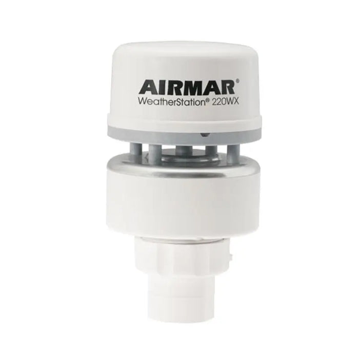
Large ports often work close to their operating limits, with deep-draft vessels, narrow channels, and tight schedules. Harbor masters and pilots value wind readings from key points such as harbor entrances, bar crossings, channel bends, and exposed container berths.
Several stations across a port can show, for example, that wind at the entrance has strengthened and shifted to a crosswind while the inner harbor remains moderate. That information helps decide whether a large vessel should enter, wait, or use additional tug assistance. Over time, recorded data also helps a port define clear operating limits and document the reasoning behind its decisions.
Ferry operators balance reliable service against passenger safety and comfort. Stations at terminals and exposed sections of a route help dispatchers monitor crosswinds during docking, time departures around passing squalls, and give passengers clear information about expected conditions.
Offshore oil, gas, and wind installations are exposed to open-ocean conditions. Wind and sea-state data guide crew transfers by vessel or helicopter, crane lifts, work at height, and maintenance scheduling. Combining platform weather stations with wave measurements helps crews plan around suitable conditions instead of relying only on distant forecasts.
For fishing boats and recreational craft, a station at the harbor or marina offers immediate local information. Captains can see whether the wind is building or easing before departure, and marina managers can warn boaters about approaching squalls and strong gusts. Some marinas also add lightning detection to help clear docks and fuel areas as storms approach.
Marine weather observations are valuable beyond the port itself. Coastal communities and emergency managers may use the same data for:
In many US ports, NOAA's Physical Oceanographic Real-Time System (PORTS) provides real-time water level, current, and meteorological data for navigation. A port's own stations can add more detail at specific berths, terminals, or marinas that public networks do not cover.
Saltwater environments are hard on equipment. Keep these points in mind when comparing commercial weather stations and marine sensors:
Whatever system you choose, make the data easy to access in real time and keep the history. Recorded wind and pressure data helps refine operating limits and explain decisions to stakeholders.
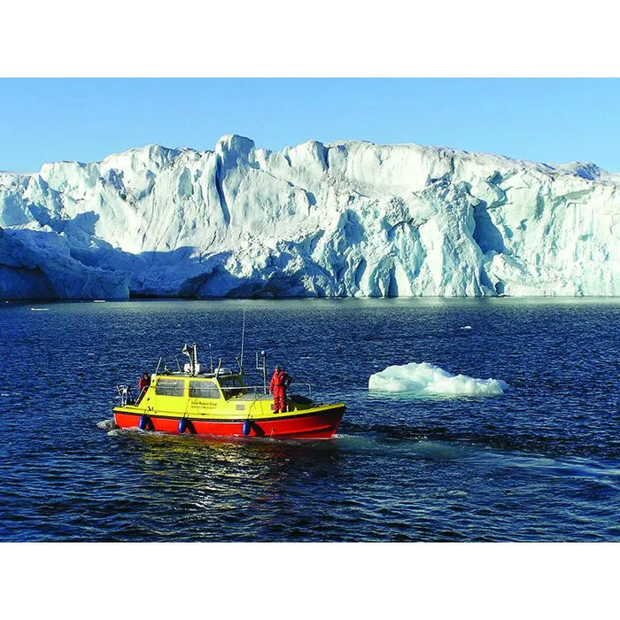
Install it where the conditions affect operations, such as a harbor entrance, an exposed berth, or the end of a breakwater. Keep the wind sensor clear of buildings, cranes, and other obstructions. Larger ports often use several stations to capture differences across the harbor.
Most weather stations measure atmospheric conditions such as wind, pressure, temperature, humidity, and rainfall. Waves, tide levels, and currents are usually measured by separate equipment, such as wave buoys, tide gauges, and current meters, although their data can be displayed in the same monitoring system.
Yes. Even a single station with wind, gust, and pressure readings gives boaters and staff real conditions at the dock. A quick check of the wind and pressure trend before leaving can help avoid an uncomfortable or unsafe trip.
Apparent wind is what you feel on a moving vessel, combining the actual wind with the boat's own motion. True wind is the wind relative to the ground or water surface. Some vessel-mounted stations calculate true wind using GPS speed and compass heading.
Many systems can share live readings through a website, dashboard, or display at a terminal or marina office. Options depend on the station's data connections and software, so check what is supported before you buy.
Whether you manage a harbor, run a ferry route, or keep boaters informed at a marina, accurate local data supports better weather decisions. Browse our marine weather stations and the Airmar collection for vessel and shore-based options, or explore our wind instruments. To learn more about measuring wind direction, read our guide to the wind vane.

Leave a comment