(866)223-5699
(866)223-5699

Winter is a season of beauty and extremes, marked by diverse weather patterns that captivate and challenge us. From the serene sparkle of snowflakes under the sun to the formidable force of blizzards, winter weather showcases nature's complexity. Understanding the various types of winter weather is not only fascinating but also essential for preparedness and safety.
In this guide, we delve into the many forms of winter weather, exploring how they occur, their impacts on daily life, and the science behind their formation. Whether you’re a weather enthusiast, a student of meteorology, or someone simply curious about what makes winter so unique, this comprehensive exploration will provide valuable insights.

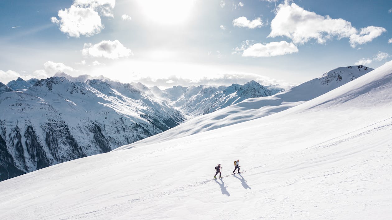
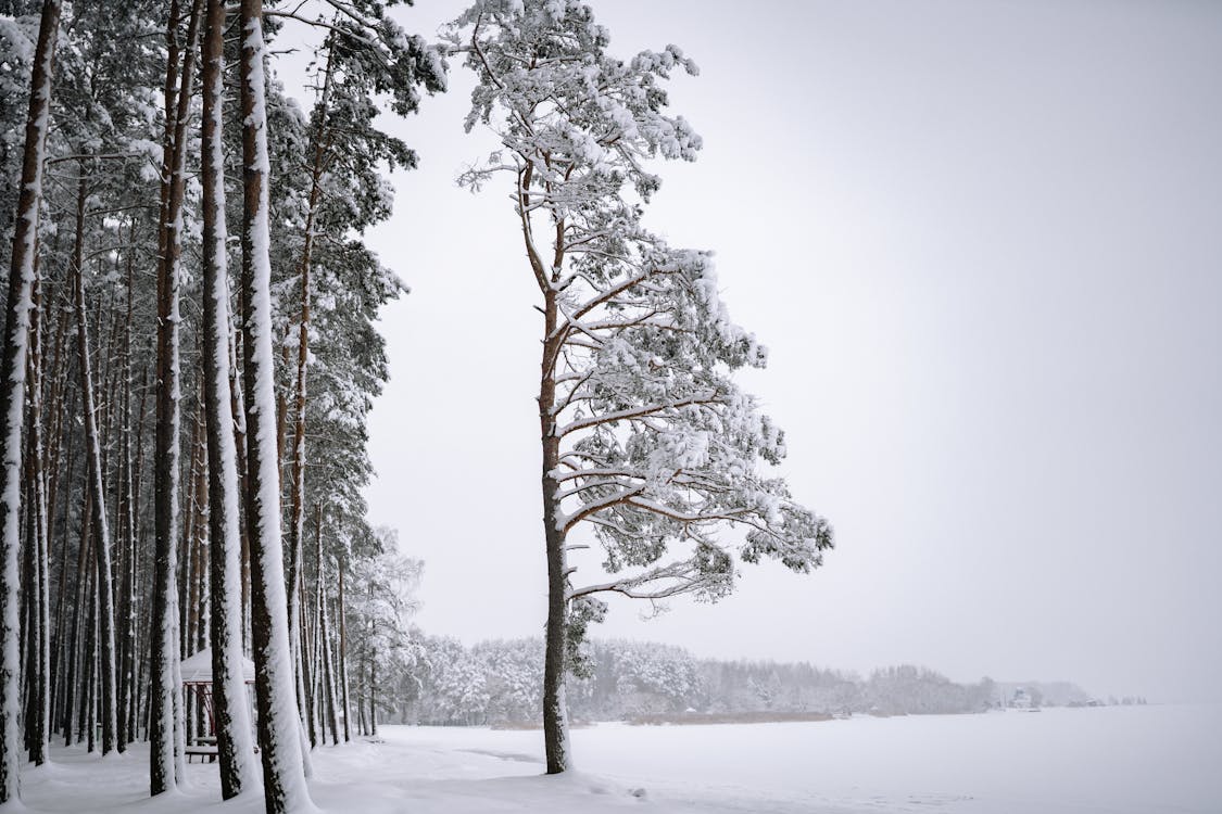
Snow is perhaps the most iconic symbol of winter. It forms when atmospheric temperatures are low enough for water vapor to freeze directly into ice crystals. These ice crystals cluster together to create snowflakes, which fall to the ground.
Snowflakes form in clouds when the temperature is below freezing, and there is ample moisture in the air. As they fall, the shapes of snowflakes can change depending on temperature and humidity.

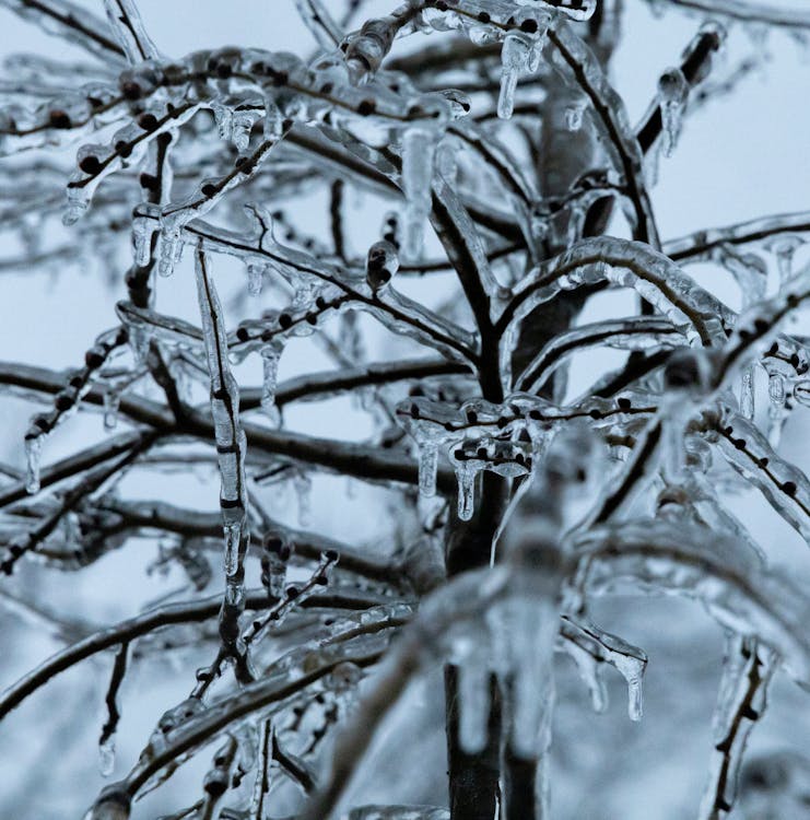
Freezing rain is a type of precipitation that falls as liquid rain but freezes upon contact with cold surfaces, forming a layer of ice. It occurs when a warm layer of air is sandwiched between colder layers near the ground.

Sleet is a mix of rain and snow, forming when raindrops freeze into small ice pellets before hitting the ground. Unlike freezing rain, sleet bounces upon impact and is less likely to create an icy glaze.
Sleet is often confused with hail, but hail typically forms during thunderstorms and is associated with warmer weather, while sleet occurs during winter storms.

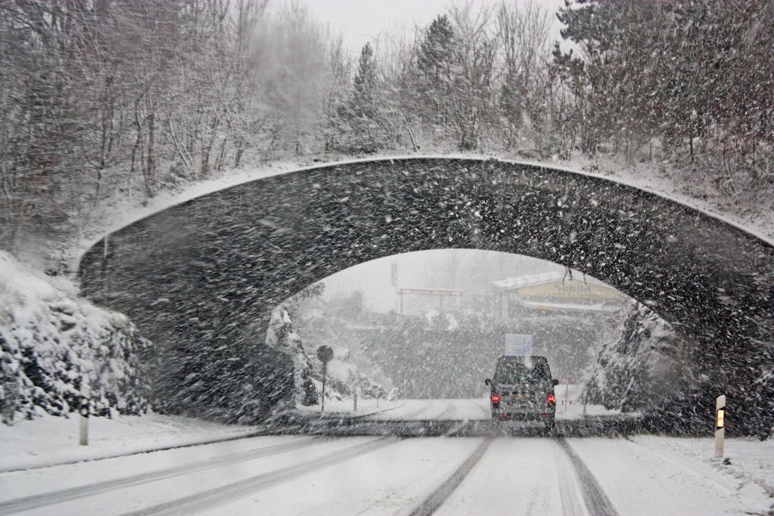
Blizzards are severe snowstorms characterized by strong winds and low visibility. They occur when a powerful low-pressure system meets a cold front, creating intense winds and heavy snowfall.

Ice storms occur when freezing rain coats surfaces with a layer of ice. While visually stunning, they are among the most dangerous forms of winter weather.
These storms form under similar conditions to freezing rain but on a larger scale, affecting extensive areas and leading to significant ice accumulation.

Frost forms when water vapor in the air deposits as ice crystals on cold surfaces. It typically occurs on clear, calm nights when temperatures drop below freezing.
While frost is primarily a visual delight, it can have serious implications for agriculture and transportation.

Snow squalls are brief but intense bursts of snow accompanied by strong winds. Unlike blizzards, they are short-lived but can lead to rapid visibility loss and dangerous road conditions.

The polar vortex is a large area of low-pressure cold air surrounding the Earth's poles. Occasionally, this frigid air mass dips southward, bringing extreme cold temperatures to lower latitudes.
Winter weather patterns are being influenced by climate change, leading to more unpredictable and extreme events. For instance, warming temperatures can result in heavier snowfalls due to increased moisture in the air, while some regions experience milder winters. Understanding these changes is crucial for adapting to and mitigating their impacts.

Staying safe during winter requires preparation and awareness. Here are some essential tips:
Winter is a season of contrasts, offering both serene beauty and formidable challenges. By understanding the various types of winter weather, you can appreciate its wonders while staying prepared for its potential risks. Whether it’s marveling at the intricate design of a snowflake or braving the fury of a blizzard, winter never ceases to amaze and inspire.

Freezing rain falls as liquid rain but freezes upon contact with cold surfaces, creating a smooth, icy glaze. Sleet, on the other hand, freezes into ice pellets before reaching the ground and bounces on impact, making it less hazardous than freezing rain.
Blizzards are characterized by strong winds (at least 35 mph), low visibility (less than a quarter-mile), and lasting conditions (three hours or more). Snowstorms, while heavy with snow, lack the severe winds and reduced visibility that define a blizzard.
Lake-effect snow occurs when cold air moves over a warmer lake, picking up moisture that condenses and falls as snow once it reaches land. This phenomenon is common in regions near large lakes, such as the Great Lakes in North America.
While the polar vortex is a natural atmospheric phenomenon, disruptions in its stability may be linked to climate change. Warming in the Arctic can cause the polar vortex to weaken and dip further south, leading to extreme cold events in regions that typically experience milder winters.
Comments
Leave a comment